Tour des carrières
Juigné-sur-Sarthe
Rue du Pont
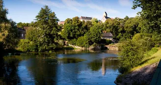
72300 Juigné-sur-SartheIn the 19th century, the many quarries in Juigné provided work for a large workforce. Transport was mainly by river on board barges. They travelled upstream, pulled by horses or men. It is on this route, the towpath, that you will follow the Sarthe, as far as the Jarossay quarry, now filled in. Leaving the bed of the Sarthe, you will climb back up to the plateau overlooking the river to follow local lanes and paths.
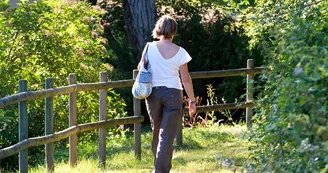
After crossing the long, shady straight, you will make a foray into the new part of the village before returning to a path that will take you past 2 lime kilns.
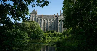
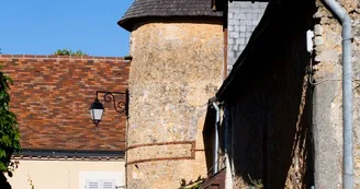
Once you reach the restored wash-house, you can choose to continue along this sunken path or climb up to admire the many 15th-century houses and the 12th-century bell tower, before finally discovering a unique panorama over the Sarthe Valley and Solesmes Abbey, a Mecca for Gregorian chant.
Your contact
OT Vallée de la SartheMoulin à couleurs 1 place Pierre Désautels
72270 Malicorne-sur-Sarthe
Find this route on the Loopi mobile app
Scan the QR code, save it as a favorite, or start the guidance, just enjoy!
Scan the QR code, save it as a favorite, or start the guidance, just enjoy!
This route is provided by: Rivières de l'Ouest
Be cautious and prepared during your outings. Loopi and the author of this sheet cannot be held responsible for any problems that occur on this route.


