CIRCUIT DES 3 CITÉS - N°32
Thorigné-en-Charnie
1 Rue Margot
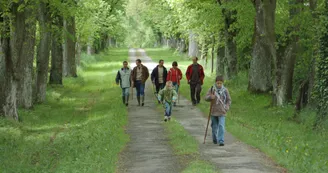
53270 Thorigné-en-CharnieThis 13.6 km trail is designed for walkers.
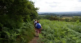
You'll discover our rich heritage: chapels, churches, lime kilns and mills. The route also reveals the beauty of our countryside, with its steep-sided paths, caves and the Saulges canyon. You'll also catch a glimpse of the unflappable Aurochs!
You can download and print this route by clicking on the PDF bubble.
For mountain bikers and horse riders, we recommend loop no. 03.
Your contact
Office de Tourisme des Coëvrons1, rue Jean de Bueil
53270 Saint-Pierre-sur-Erve
Find this route on the Loopi mobile app
Scan the QR code, save it as a favorite, or start the guidance, just enjoy!
Scan the QR code, save it as a favorite, or start the guidance, just enjoy!
This route is provided by: OFFICE DE TOURISME SAINTE-SUZANNE LES COËVRONS
Be cautious and prepared during your outings. Loopi and the author of this sheet cannot be held responsible for any problems that occur on this route.

