Boucle Jamboisienne
Saint-Jean-du-Bois
1 Place de l'Église
72430 Saint-Jean-du-BoisSaint-Jean du Bois, formerly known as St-Joannis de Bosco, was founded in medieval times.
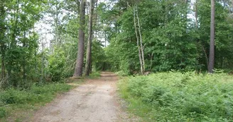
The commune is densely wooded, covering almost 700 hectares out of a total area of 1,462 hectares. To the south-west of the town, the Beaumortier stream has been intercepted to form a succession of ponds, the main ones being the Gilbert and Bonde ponds. These ponds form a remarkable string of lakes covering almost 50 hectares, which has been classified as a ZNIEFF zone (natural zone of ecological, faunistic and floristic interest),
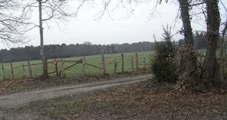
The Jamboisienne loop at Saint-Jean-du-Bois, a veritable jewel case of greenery where forest and ponds reveal their secrets, and where the rarest fauna and flora live in complete serenity.
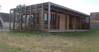
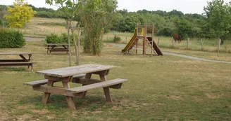
At the start of your hike, you'll be surprised by this bioclimatic hiking centre. Situated in the heart of the village on a leisure park, it's the ideal place for a picnic.
Your contact
OT Vallée de la SartheMoulin à couleurs 1 place Pierre Désautels
72270 Malicorne-sur-Sarthe
Find this route on the Loopi mobile app
Scan the QR code, save it as a favorite, or start the guidance, just enjoy!
Scan the QR code, save it as a favorite, or start the guidance, just enjoy!
Route development
63% shared roads
36% cycle paths
12% cycle routes
Road surfaces
819 m on asphalt or tarred road
7.29 km on unknown surface in the Open Street Map database
This route is provided by: Rivières de l'Ouest
Be cautious and prepared during your outings. Loopi and the author of this sheet cannot be held responsible for any problems that occur on this route.

